


In groups, students went around the room to look at example maps from all around the world! One of our favorite maps was completely in French!

Some maps included information about that country. For instance, this map shows where endangered animals in Africa live!


Students were able to inspect maps of the Germany, as well as maps that included information about the rain forests in South America.

We even looked at a map of outer space!

One of our favorite maps is this one of Paris. They symbols on the map for the buildings were very easy to read, even though the labels were in French. We saw where the Eiffel Tower was located, and even learned that there is a second Statue of Liberty in Paris!
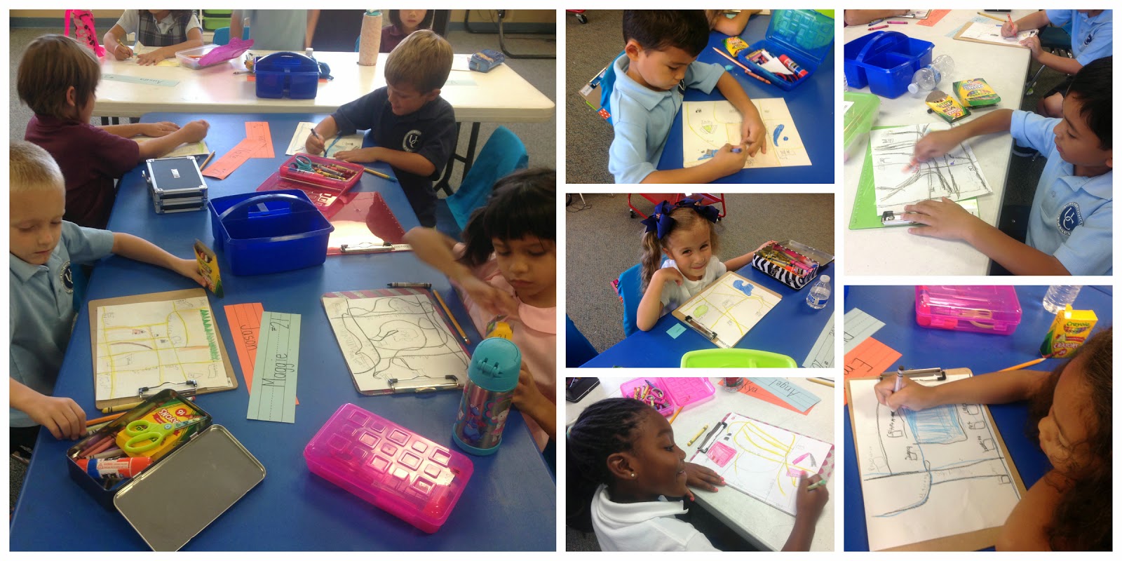
After all that inspiration, we got to work and made our own maps.
Mrs. Bohne and I were talking about this activity and realized many of us no longer even use paper maps anymore. I was glad I was able to pull out my collection and let the kids explore!
No comments:
Post a Comment